Millennium Project
All the fields of Deddington parish have names. Some have kept their names through the centuries, others have changed over the years.
This annotated map (pdf) shows the fields of Deddington Parish. The grey numbers refer to locations on the map.
Sometimes fields are named after a previous owner, sometimes after whoever worked in the field, and there are numerous examples of both of these traditions in the village: Garretts Banks 1, Gardeners Hill 2, Ben's Garden 3, Justin's Peace 4, Peggy's Bank 5, Sid's Field 6, to name just a few. Other names tell fascinating stories. One of the oldest is The Fishers 7 which is thought to have been the fishpond for Deddington Castle in the 12th and 13th centuries, when locally caught fish was an essential part of the diet.
Another old one is Battle Thorn Hills 8, on Castle Farm, which in all probability dates from the Civil War when in 1644 Royalist troops were marching from Aynho. A sword, bullets and human bones have all been found near King's Spring 9, where it is rumoured that King Charles stopped to drink on his way to the Battle of Edge Hill. Another war is commemorated by The Butts 10, as this field was used as a Rifle Range during World War II.
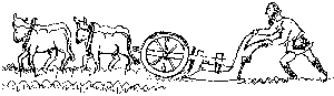
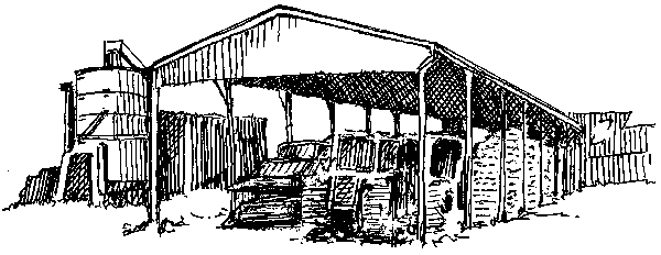
Waggoner's Halt 11 had a shed for the drivers and pasture for the horses on the steep hill on the Banbury Road, and at Church Pits Meadow, stone from three pits 12 13 14 was used for the repair of the church following the storm that blew down the tower in 1634.
There was also a quarry on Leadenporch Farm. Stone for the Deddington-Clifton Road came from the field called Tatles Pit 15, and was carried down Jerusalem Lane by horse and cart.
The Pound 16 was where stray animals used to be held until their owners paid a fine and reclaimed them. This field is now the front garden of Earl's Farmhouse.
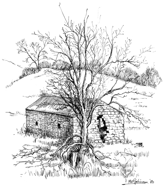 Pest House Field 17 was the site of the village pest house, where sufferers from infectious diseases (mainly smallpox) were kept in isolation. This was still in use in the 19th century. When H.E. Robinson made this sketch in 1980, only ruins were left. Now all trace has virtually disappeared.
Osier Bed 18 tells us of the craft of basket-making in Clifton that only died out in the 1930s. Banslip, Clifton 19 is where a weed grew that was used in the past to stop abortion in animals. Spinney Ground 20 and Fox Cover 21 in Clifton and Foxy Leigh 22 in Hempton tell their own story, and Hempton seems to have had its share of fighting with Warlands 23.
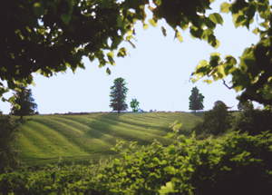
A series of fields called The Slad 24, Deep Slad, Lower Slad and Dancing Slad 25 indicate a shallow valley, and it is said that the gypsies camped on Dancing Slad. Snake Hill 26 nearby was obviously somewhere to tread with care. Purgatory 27 has a connection in some places with mass burials from the plague, but could also be used to describe a very wet and boggy field. On the other hand, two fields called The Oven 28 29 are very dry and bake hard in sunny weather.
Brickyards 30 on the Oxford Road reminds us of the two brick kilns that were established during the 19th century; bricks and tiles continued to be made in Deddington until the middle of the 20th century. Townsend 31 next to the old Gas House marks the extent of the old town.
We are most grateful to the farmers who told us about these field names and the stories behind them.
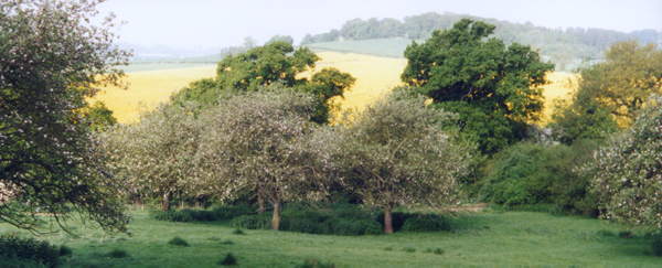
Perhaps we should finish with a field that is no longer a field but a wood. The field was acquired by the Woodland Trust aided by a substantial contribution from the village in 1996 as a Millennium Project, and is now planted with trees and wild flowers. Its new name is Daeda's Wood 32 after the Mercean farmer who gave his name to the village of Deddington in the 10th century.
For further information about Deddington's farming history, visit:
- Domesday and The Middle Ages
- Farming 1500 to 1800 and The 1808 Enclosures and After
- Farming 1950s to the Present Day
Every field in the parish is named on the Deddington Millennium Map.