Millennium Project
Deddington Map Group (DMG)
Published 1998
The following article is based on the original DMG Millenium Project leaflet (pdf) and is published with its kind permission
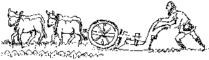
Adding up to 3,618 acres, or about 1,500 hectares, they lie on the outcrop of marlstone rock which yields the distinctive ironstone used in most local buildings, giving them their warm golden colour.
Three of the four boundaries of the parish are water: the River Swere to the north, the River Cherwell on the east and the Sowbrook or Sor Brook to the south. The western boundary has changed several times over the years as Hempton and Barford shared the same field system until the enclosures of the early 19th century.
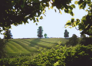
Currently there are nine working farms in the parish, varying in size from 60 to 1,100 acres (25 to 460 hectares approximately). Four are on the Clifton side - Castle Farm, Leadenporch, Boulderdyke and Home Farm - and three on the Hempton side - Tomwell, Ilbury and College Farm (pictured above).
The last two working farms in the centre of Deddington today are Park Farm, on New Street, and Earl's Farm.
In the past, many of the older centrally placed houses were farmhouses - for example, Castle House, next to the Parish Church, was once the Rectorial Farmhouse.
This annotated map (pdf)shows the nine working farms in the Parish of Deddington.
For further information about Deddington's farming history, visit:
- Domesday and The Middle Ages
- Farming 1500 to 1800 and The 1808 Enclosures and After
- Farming 1950s to the Present Day
- Field Names Today
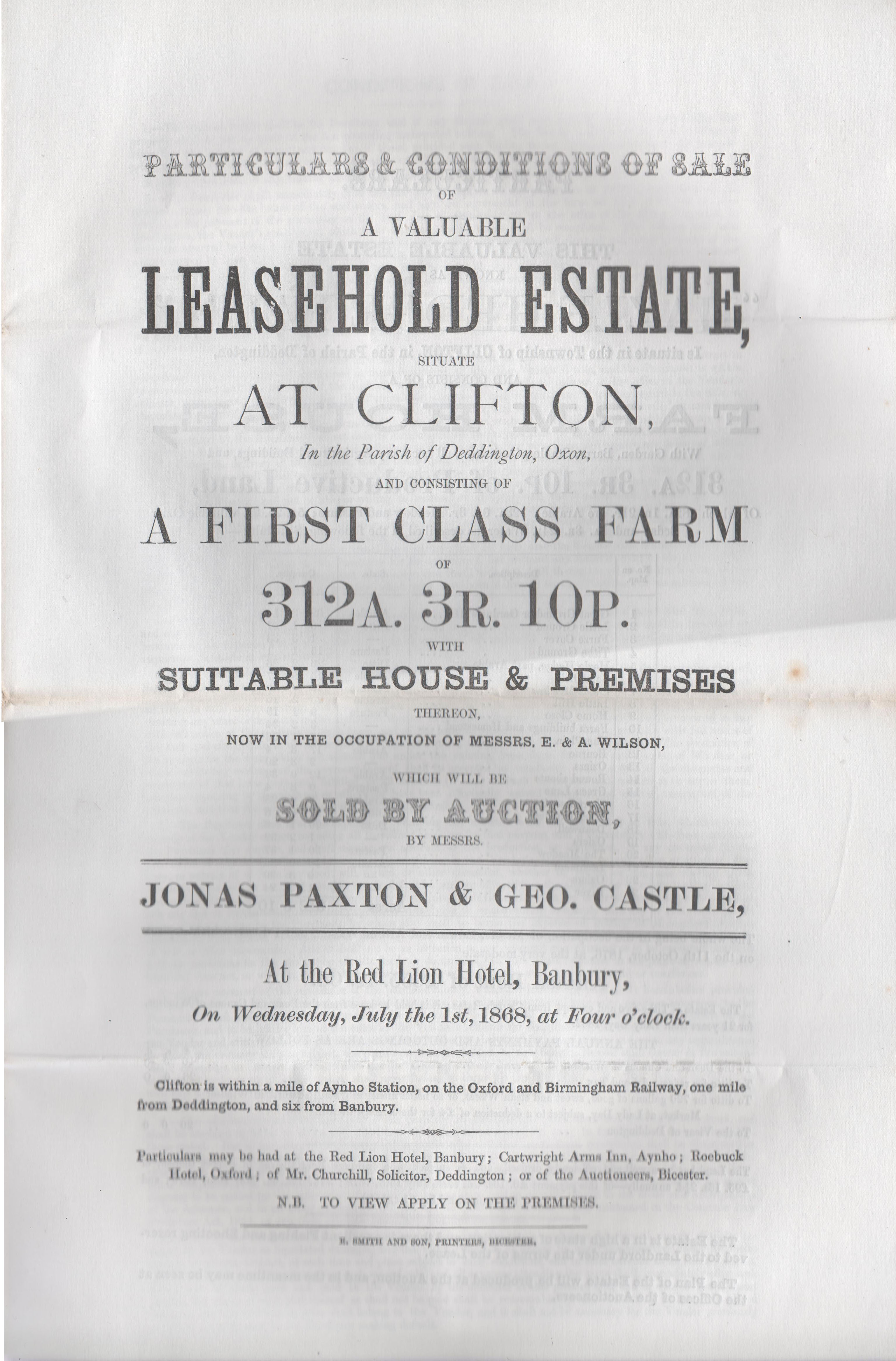
- 1868 Sale of Leasehold of a Clifton Farm - possibly Hazel Edge - occupied by Messrs E & A Wilson
- 1892 Hazel Edge Farm, Clifton - sale of animals and equipment from