Captions to photos taken in 1959 for the Ironstone extraction enquiry and commissioned by the North Oxfordshire Area Protection Committee
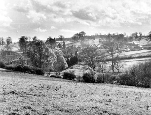
01§ Swerford, Oxon W R Bawden/Eagle Photos*
This is the view southwards from the byroad Hook Norton to Swerford.
The Chipping Norton to Banbury main road runs along the skyline and gives fine views over the valley.
The upland fields behind the village are included in the present ironstone application, as well as a considerable acreage over the hill on the far side of the main road.
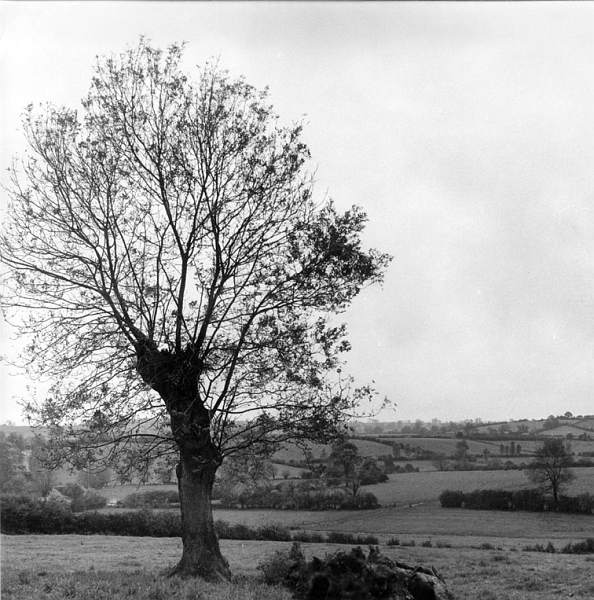
02 Willow tree Anon
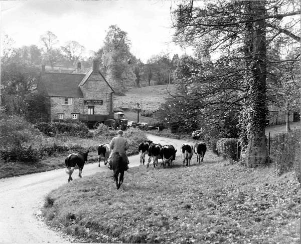
03 Herdsman near Griffin PH W R Bawden/Eagle Photos Swerford: an everyday scene in this unspoiled village. Farmer Cox taking his cows home for milking.
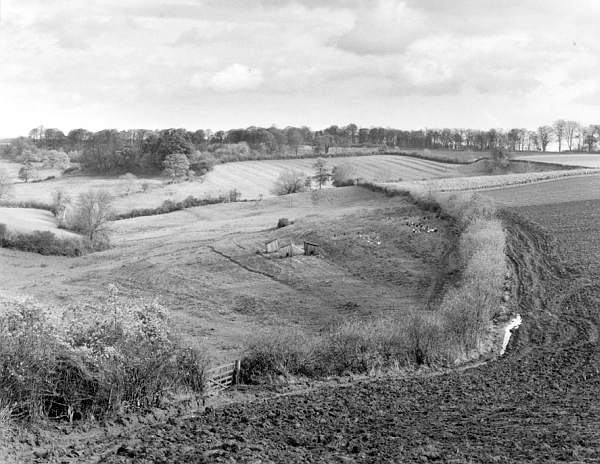
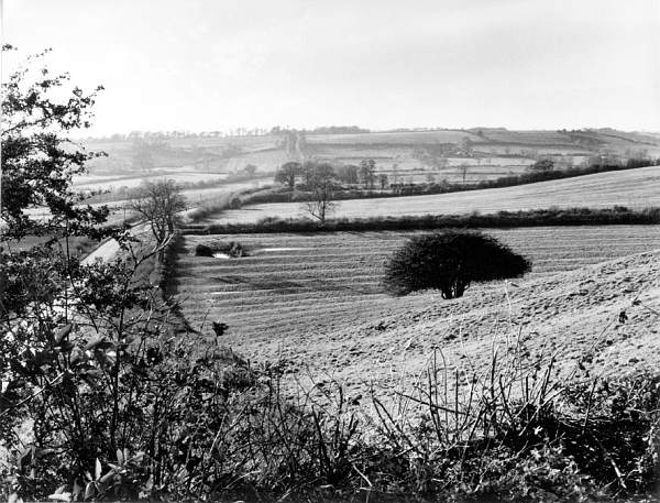
04 [03§] Swerford, Plough land with background ridge and furrow and chickens. W R Bawden/Eagle Photos A typical example of the prettily contoured and wooded countryside involved in the present application for ironstone mining. This view looks eastwards from the lane down to Swerford from the main road, with Heath Spinney on the summit. This view looks over only about 1000 yards of the countryside, but the application in this vicinity includes a semi-circular sweep on both sides of the Chipping Norton to Deddington road, continuous from this point for approximately 5000 yards.
05§ Bloxham, Oxon W R Bawden/Eagle Photos
The view south east from Wyckham Park. [?Now Tudor Hall School] The proposed ironstone workings would be mainly beyond the summit of this hill, but three fingers would overspill down to the line of trees.
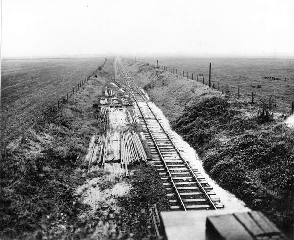
06§ Milcombe, Oxon W R Bawden/Eagle Photos
A charming scene immediately adjacent to the railway line and land concerned in the application.
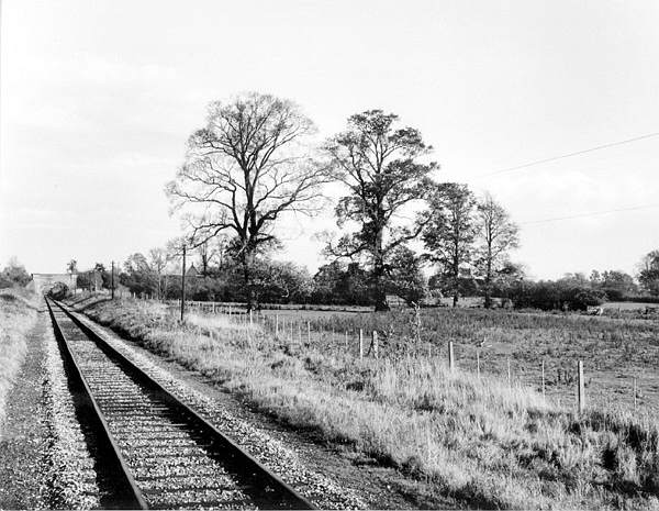
07§ Milcombe, Oxon W R Bawden/Eagle Photos
Looking east along the railway line in the vicinity of the village, which lies just beyond the trees. The land right of the railway is included in the application and is where the sidings will be.
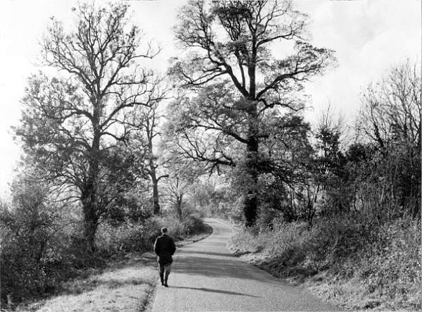
08§ Milcombe, Oxon W R Bawden/Eagle Photos
A peaceful country lane, the road from Milcombe to Wiggington. The railway line is up the bank to the right and the ore will need to reach it across this lane.
09§ Wiggington. W R Bawden/Eagle Photos The view from Bury's Hill ooking along the valley westwards towards Hook Norton. The entire valley is concerned in the application.
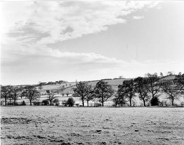
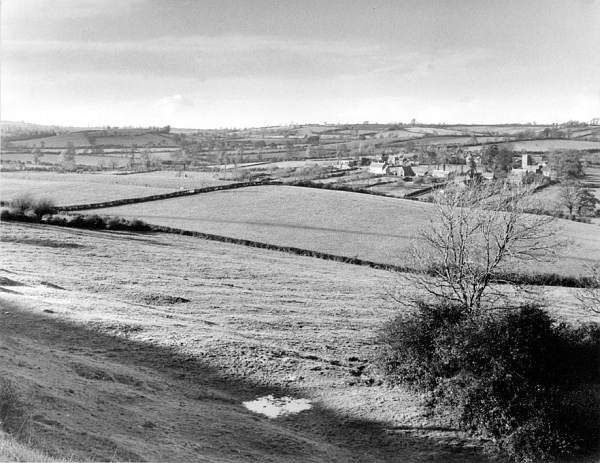
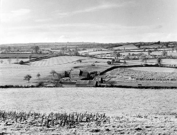
10 [4§] Swerford. W R Bawden/Eagle Photos The view from the ridge immediately behind the Mason's Arms on the Chipping Norton to Banbury road. From left to righ the valley leads towards Wiggington. Virtually all of the area shown is subject to the application for ironstone mining, except the far syline beyond Wiggington.
11 Ironstone railway Anon
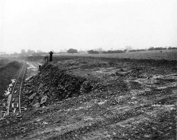
12 Exhausted modern ironstone workings Blinkhorns
13 Ironstone railway & workings Anon
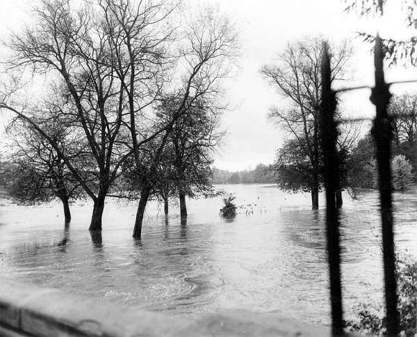
14 Flooded river & field Anon
15 Landscape with exhausted ?C19 workings, just possibly Coombe Hill, Barford St John Anon
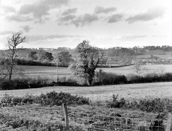
16 Landscape with hedge oak W R Bawden/Eagle Photos
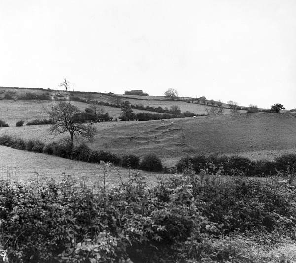
17 Ridge and furrow on Steepness Hill with view of Irondown Hill W R Bawden/Eagle Photos This is the view looking west from Steepness Hill on the Chipping Norton to Deddington Road. Iron Down is the far hill where land on both sides of the road are concerned in the application.
18 [10§] Bury's Hill W R Bawden/Eagle Photos Unspoiled countryside if ever there was. The view from Bury's Hill looking over Paradise Farm to the tower of Hook Norton church. Virtually all the middle distance is included i the application for ironstone mining.
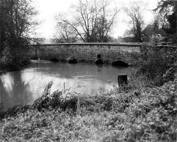
19 Flooded river at bridge Anon Lower Heyford Bridge, known as Long Bridge, to the left against the wall you can see the exit of a brook that used to run over the meadow from near the railway line. The tree growth in the centre of the photo is relativly new: from 1960 on children climbed down the wall there to hunt crayfish. The wall top runs flat to Bridge Cottage. Robin Clist of Lower Heyford rode his 200cc Velocette on the top from the river to the cottage! (Thanks to Peter Walsh for this information.)
20 'Restored' landscape Blinkhorns As it might have been, a 'pastoral' scene in North Oxfordshire.
Notes
*The photographer for many of the subjects was W R Bawden of Eagle Photos at Park Gate, 61 St Stephen's Road Cheltenham. Tel 2653. I have been unable to trace him for copyright clearance purposes.
Pictures and text © 2004 the photographers, their estates, Colin Cohen
§These are the original caption numbers: the others are mine.
I would be most grateful for any additional information relating to these photographs.
Colin Cohen, cohen@nehoc.co.uk